
- Trails
- 7
- Total Distance
- 8.1 mi
- Difficulty
- 3 Easy4 Moderate
- Fee
- Free
- Dogs
- On a Leash
- Hunting
- No Hunting
Good For: Mountain Bike, E-Bike, Hike, Trail Running, Snowshoe, Cross-Country Ski
Trails at Fork Run Recreation Area
 Fork Run Recreation AreaAcorn LoopEasy0.3 miMountain Bike, E-Bike, Hike, Trail Running, Snowshoe, Cross-Country SkiFork Run Recreation AreaBeige TrailModerate1.3 miMountain Bike, E-Bike, Hike, Trail RunningFork Run Recreation AreaGreen TrailModerate2.2 miMountain Bike, E-Bike, Hike, Trail RunningFork Run Recreation AreaIMBA TrainerEasy0.4 miMountain Bike, E-Bike, Hike, Trail Running
 Fork Run Recreation AreaRed TrailModerate1.7 miMountain Bike, E-Bike, Hike, Trail RunningFork Run Recreation AreaSilver TrailModerate1.6 miMountain Bike, E-Bike, Hike, Trail RunningFork Run Recreation AreaYellow TrailEasy0.5 miMountain Bike, E-Bike, Hike, Trail Running
About Fork Run Recreation Area

Fork Run Recreation Area
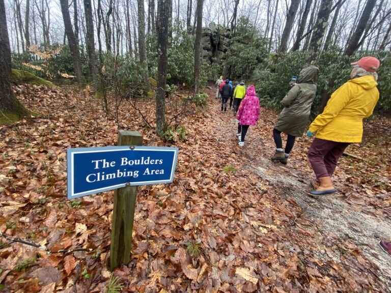
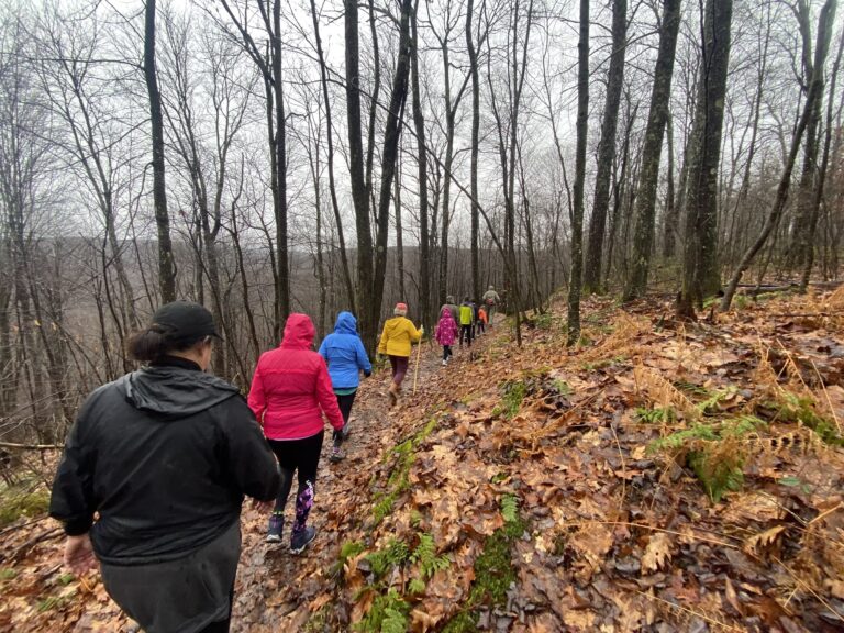
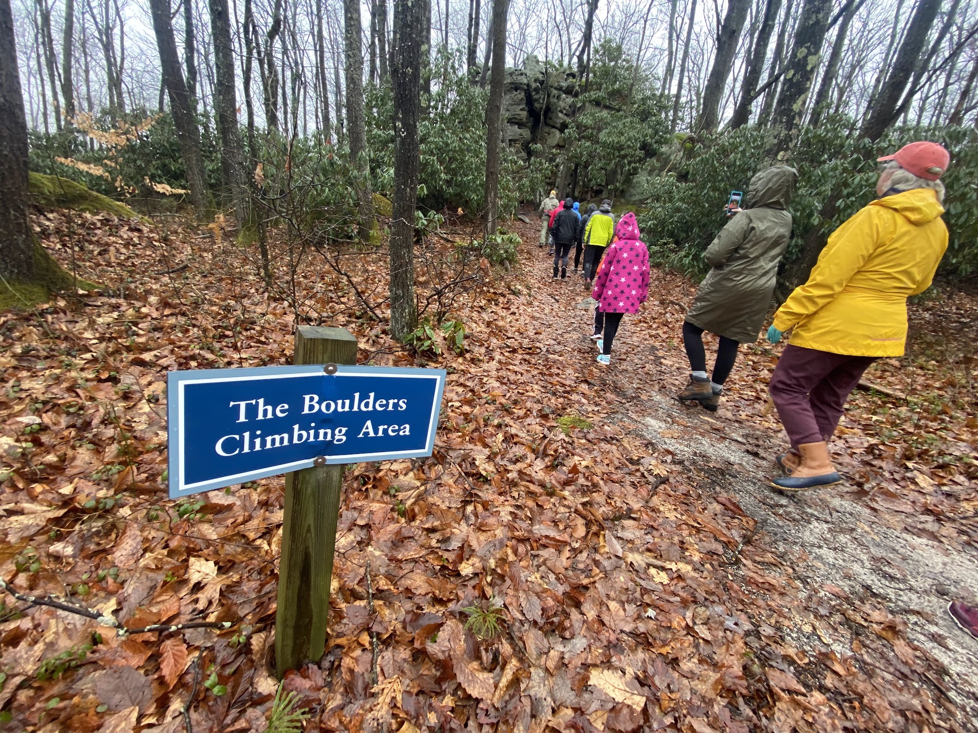
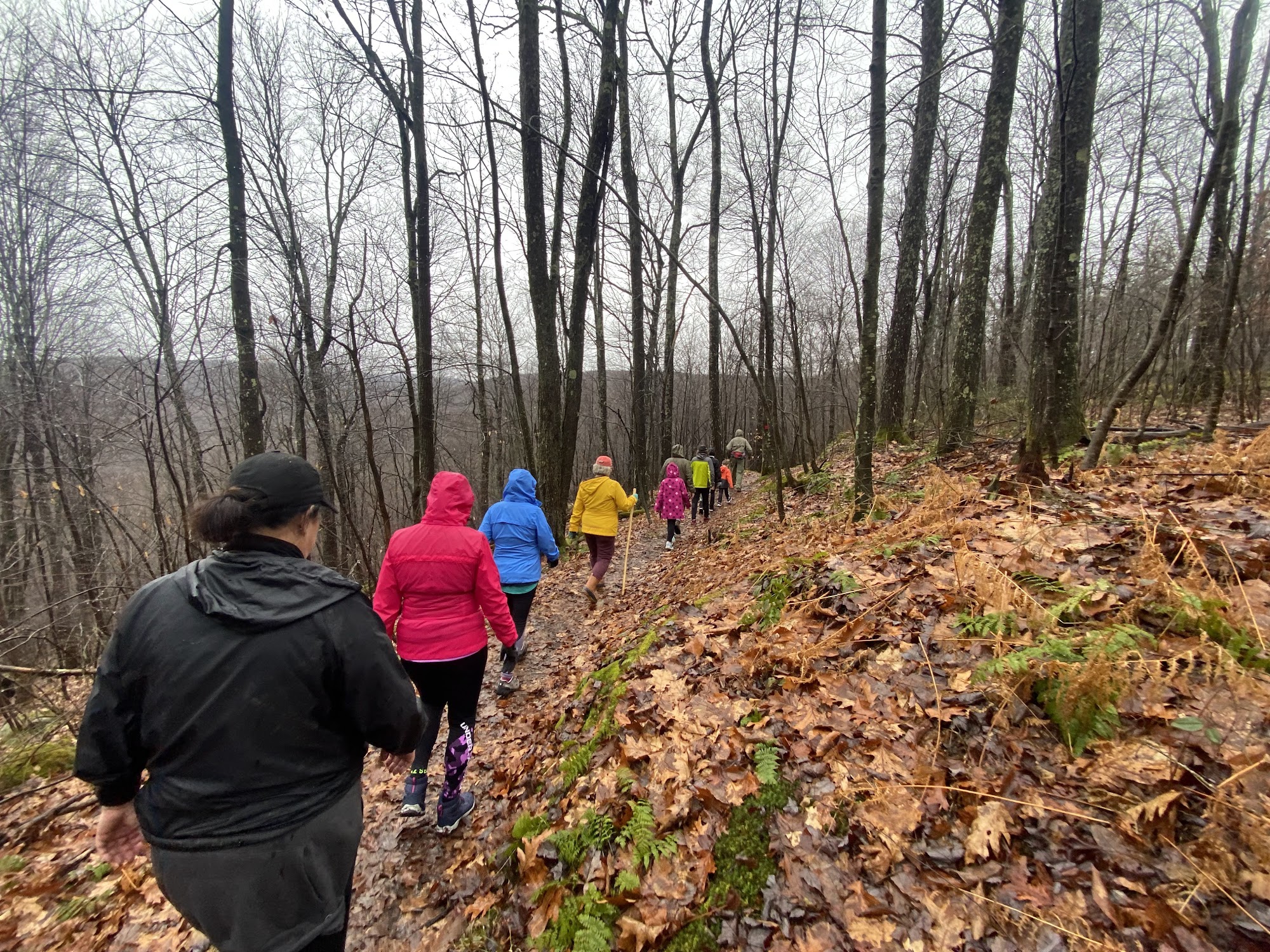
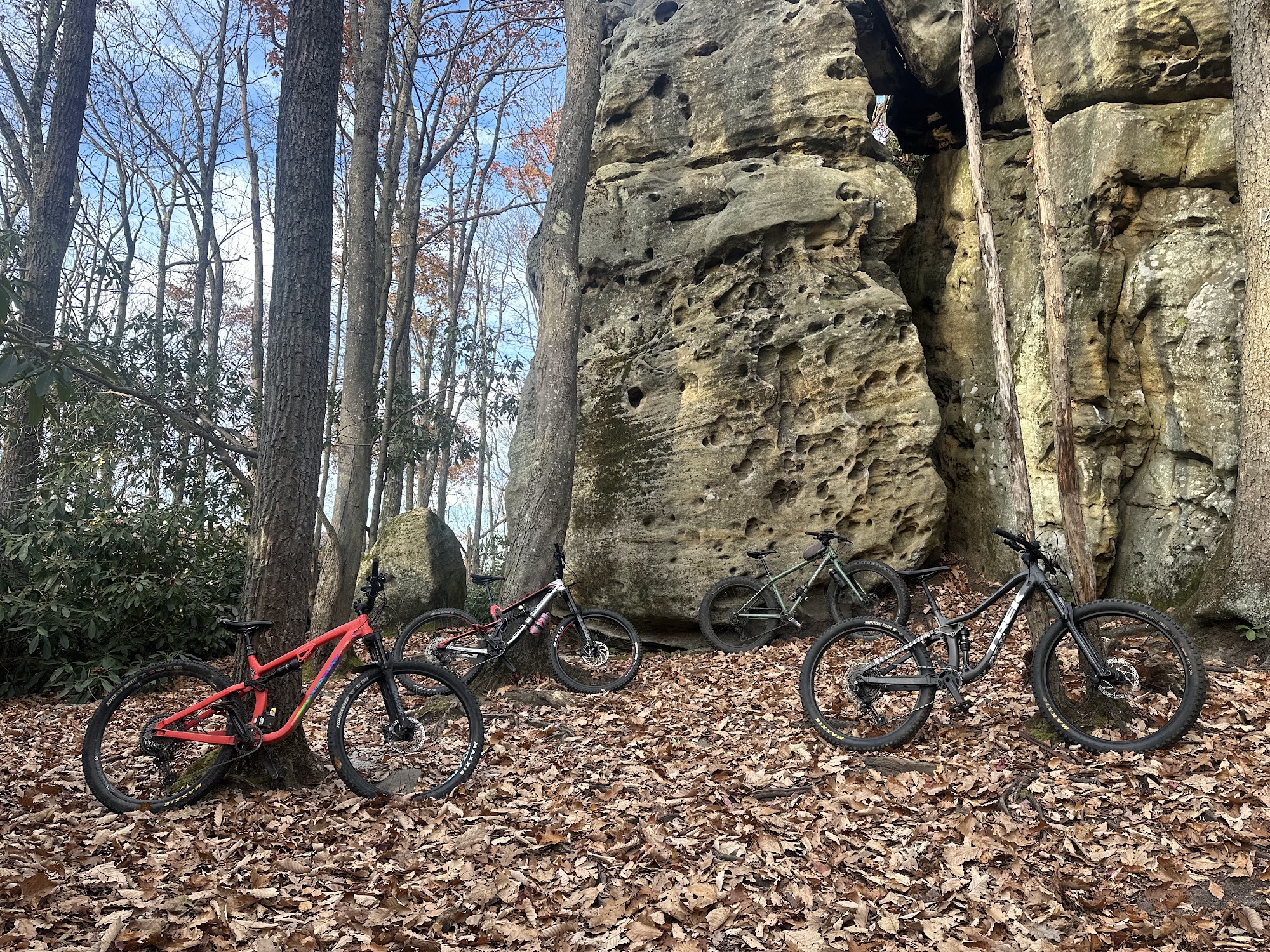
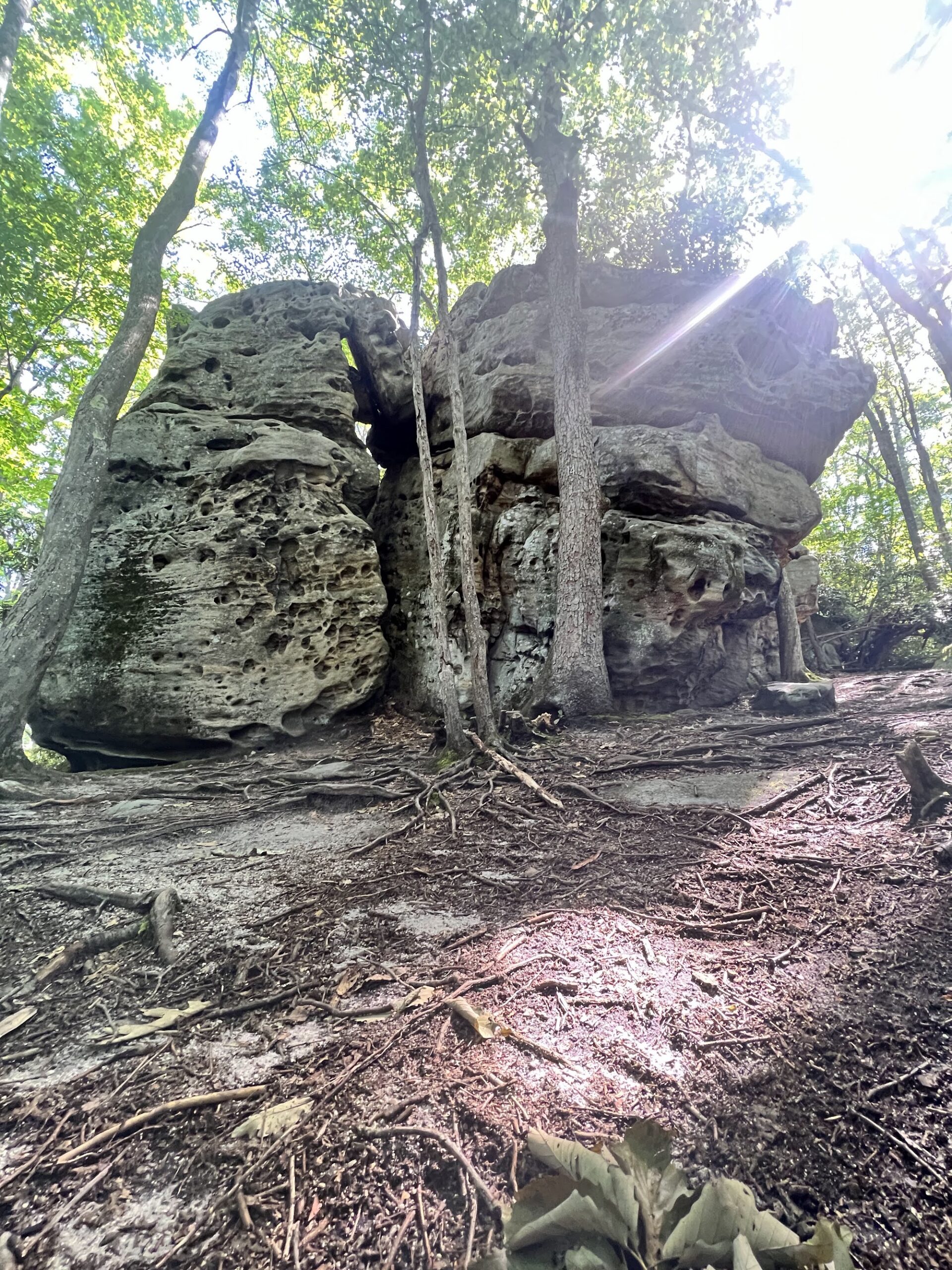
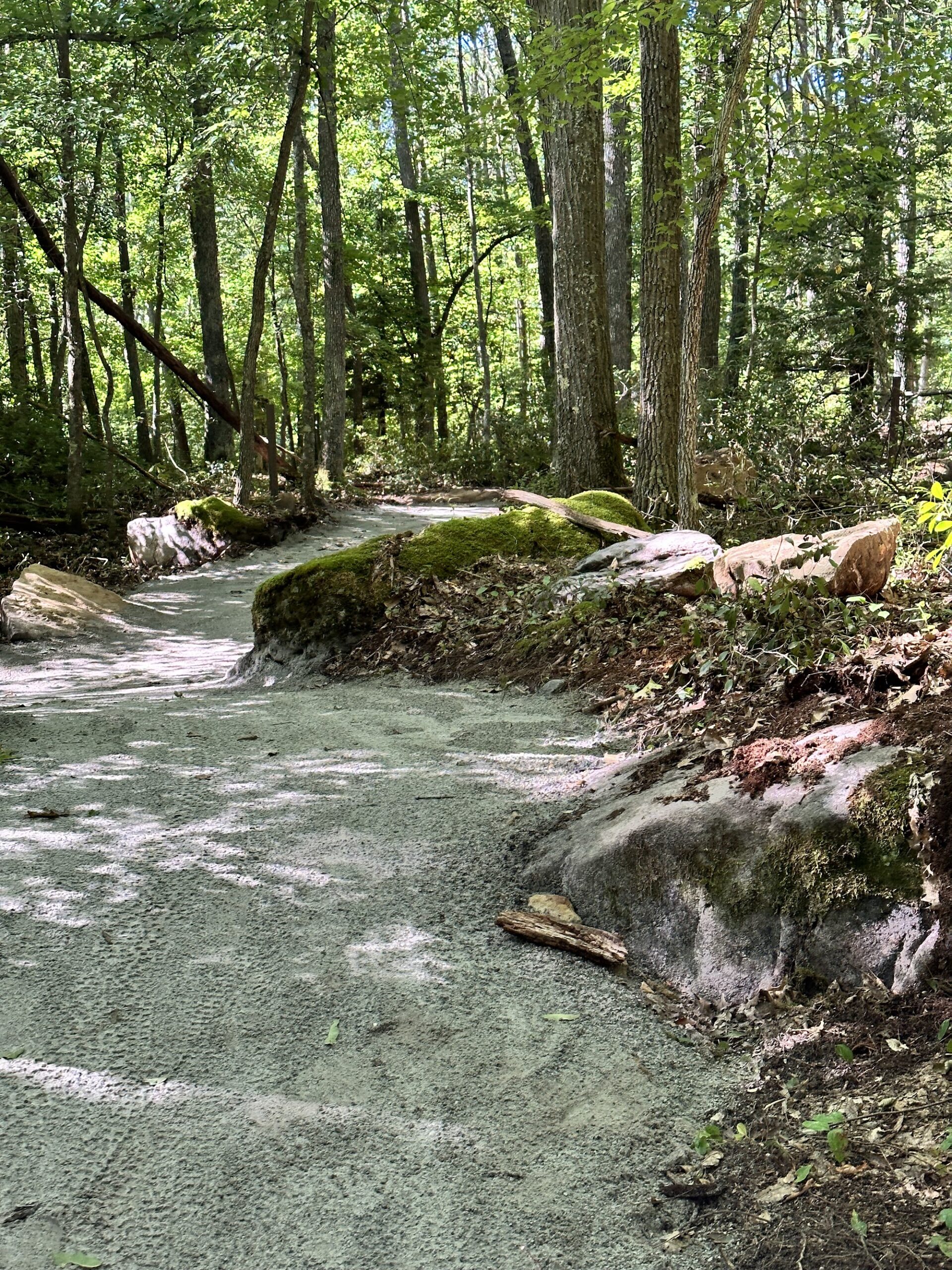
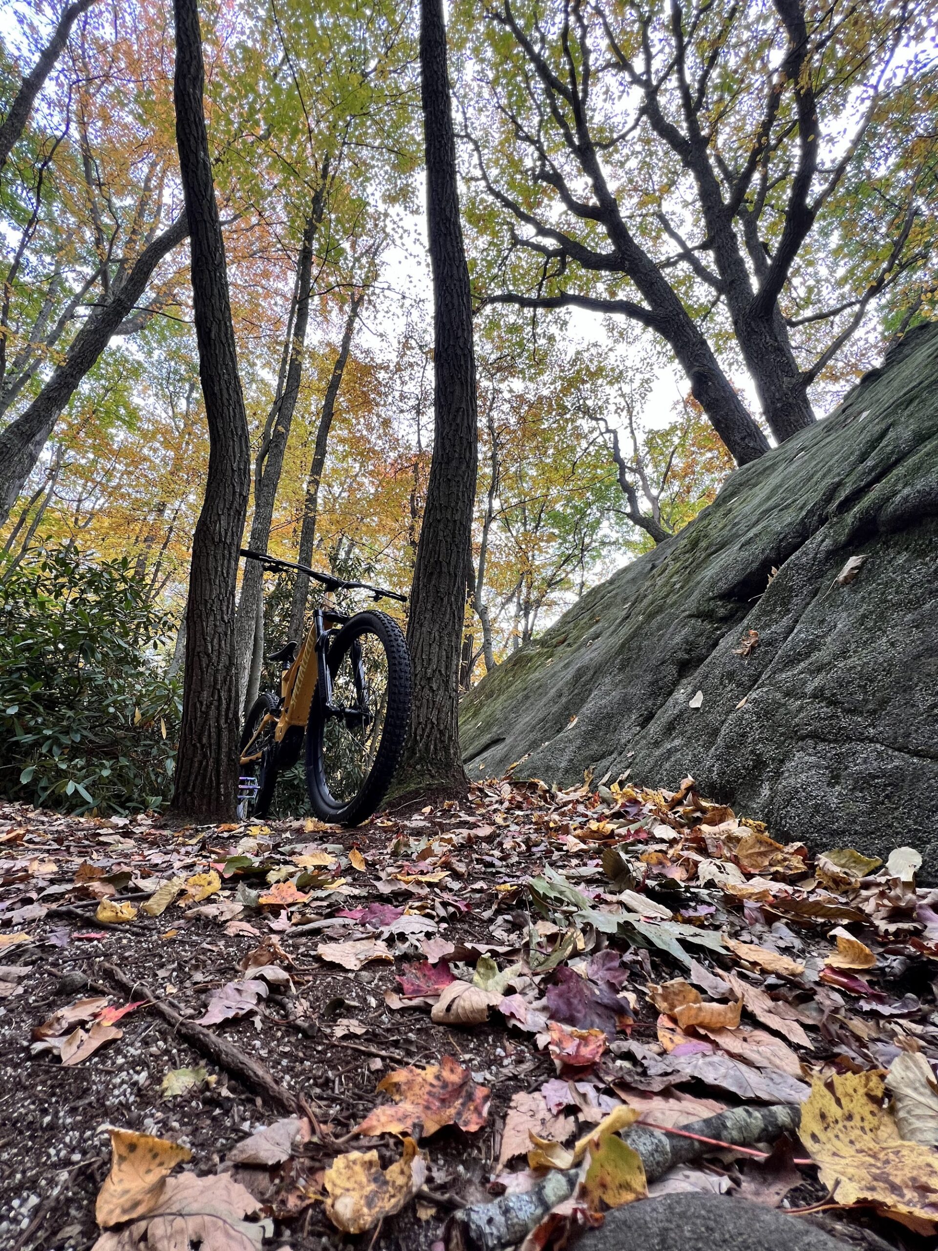
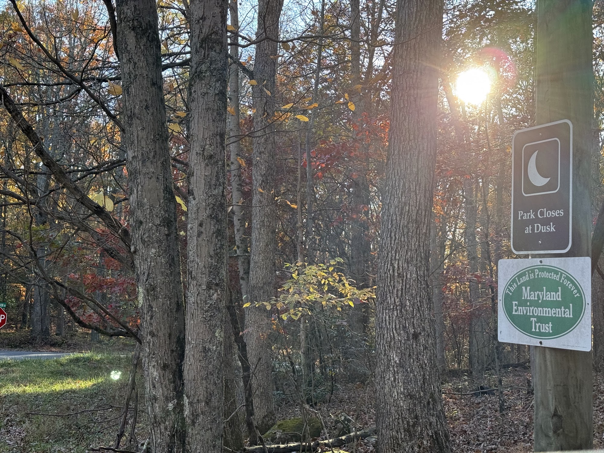
Fork Run Recreation Area is a Garrett County park near Wisp in McHenry with just over 8 miles of hiking and mountain biking trails. Routes range from easy to difficult, from the beginner-friendly Acorn Loop, a 0.65-mile crushed-limestone trail built for new riders and visitors with limited mobility, to the more technical Red, Green, Beige and Silver Trails with rock features and switchbacks.
Leashed pets are welcome. There is no hunting, camping or fires, and no overnight parking. Trail maps are posted at the trailhead parking lot and on GarrettTrails.org.
Shingle Camp Road
McHenry, MD 21541



Photos & Video
Footage Starts Here: Open Map Directions to the Start
Plan Your Visit
- Trailhead
- Gravel parking lot on Shingle Camp Road, McHenry, MD (off Oakland-Sang Run Road).
- Fee
- Free. No trail fee.
- Restrooms
- Portable toilet a short walk down the gravel road behind the gate.
- Dogs
- Welcome on a leash.
- Hunting
- No hunting.
- Managed By
- Garrett County Government, with trail work by Garrett Trails · 301-334-1920
- Accessibility
- The Acorn Loop is 0.65 miles of wide, crushed limestone with no roots or rocks, built for new riders and visitors with limited mobility.
- Emergency
- Call 911. Nearest hospital: Garrett Regional Medical Center, 251 N. 4th Street, Oakland (301-533-4000).
Know Before You Go
- About 8 miles of singletrack for mountain biking, hiking and trail running. Trail maps are posted at the trailhead.
- Acorn Loop is accessible: 0.65 miles of wide crushed limestone with no roots or rocks, about a 20-minute walk. Fast riders are asked to slow down on it.
- Green Trail's switchbacks are steep.
- No fires, camping or overnight stays in the parking lot. Be bear aware.
- Leave No Trace. Pack out what you pack in, stay on the trail, and if you're leaving a track, turn back.
Make a Day of It
All DCAB Trails & ConditionsWhere to EatWhere to StayLocal WeatherUpcoming EventsAsk Garry
Visitor details checked by Deep Creek Times in October 2026. Fees and hours can change; confirm with the managing agency.