
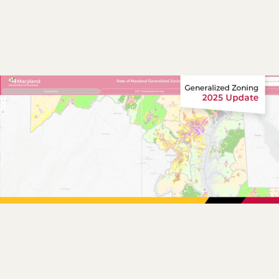
The Maryland Department of Planning (MDP) is pleased to share 2025 Statewide Generalized Zoning data. MDP collaborated with Maryland’s 23 counties and Baltimore City to update generalized zoning for those jurisdictions, considering local zoning for both map and ordinance changes.
In Maryland, each jurisdiction exercising planning and zoning authority is responsible for developing and updating its own zoning codes. Since each jurisdiction has its own uniquely different zoning, MDP developed a system of zoning uniformity to help state agencies and other planning stakeholders.
MDP identified three main generalized zoning categories – Rural, Residential, and Other – which are further broken down into a total of 11 Generalized Zoning Districts.
The 2025 update aggregates data from zoning maps, text amendments, and zoning overhauls provided by the counties. It also contains the generalized zoning information for all municipal annexations received by MDP between 2021-2025.
Please visit our Statewide Generalized Zoning ArcGIS StoryMap for a description of the various zoning categories and our Webapp to instantly see zoning changes occurring between 2021 and 2025! For more information, contact: DLMDP-GIS_MDP@maryland.gov.